
Four Brookhaven ZIP Code Areas
Brookhaven recognizes resident addresses in four postal areas for city facility-reservation pricing: 30319, 30324, 30329, and 30341. None is confined to the incorporated city. Each row in the Brookhaven ZIP code directory therefore describes both its Brookhaven portion and its wider postal reach. The post office column identifies general delivery context, not a promise that every address belongs to Brookhaven.
| Postal ZIP | Brookhaven coverage | Delivery context | Boundary note |
|---|---|---|---|
| 30319 | Core, Historic Brookhaven, Brookhaven Heights and Fields, Ashford Park, north and central areas | Brookhaven facility near the 1920 Dresden Drive area; confirm the current station | Strongest Brookhaven postal tie, but extends outside the city |
| 30324 | Southwest edge and LaVista Park | Atlanta delivery | Only part lies in Brookhaven |
| 30329 | South and east, including Buford Highway and Clairmont-facing areas | Atlanta delivery | Crosses Brookhaven, Atlanta, and unincorporated areas |
| 30341 | Northeast and east toward Chamblee | Atlanta and Chamblee-area delivery | Shared beyond Brookhaven |
No PO-box-only or unique institutional ZIP was verified inside Brookhaven. Official USPS material says the Brookhaven 30319 delivery center also serves several other codes as an operation. That list describes mail handling, not city territory. It is not grounds to add 30338, 30345, or 30346 to the city coverage table.
Read Each Brookhaven ZIP Area
Start with 30319 for the city's strongest postal association. It takes in the core, Historic Brookhaven, Brookhaven Heights, Brookhaven Fields, Ashford Park, and much of the north and center. Its reach still goes beyond city lines, so a 30319 search must be clipped to the Brookhaven polygon.
The 30324 portion sits along the southwest edge and includes LaVista Park, while the larger delivery area continues into Atlanta. The 30329 portion follows the south and east, including communities oriented toward Buford Highway and Clairmont Road. It crosses Brookhaven, Atlanta, and unincorporated geography. The 30341 portion reaches the northeast and east toward Chamblee and is also shared across municipal lines.
Those patterns make the Brookhaven ZIP code directory a starting filter, not a resident count. Neighborhoods can span a code, and a code can span several governments. Search results should retain the full street address and parcel ID so each record can be placed correctly.
Atlanta Mail, Brookhaven Residents
The postal city on an envelope does not decide the municipality. An address can carry “Atlanta” and still fall inside Brookhaven. The reverse is also true: familiar Brookhaven mailing usage does not prove that the site receives Brookhaven services or owes city taxes. Postal routes were designed to deliver mail, while municipal borders govern city jurisdiction.
This distinction affects records. Brookhaven keeps its own permits, licenses, code cases, and municipal court matters. DeKalb County keeps parcel, deed, probate, elections, and most court records. When a ZIP-wide search crosses the line, sort the resulting addresses with a city-limit overlay before choosing an office or drawing conclusions about how many residents fall within the city.
The DeKalb judicial system gateway shows the county court structure that applies after jurisdiction is verified.
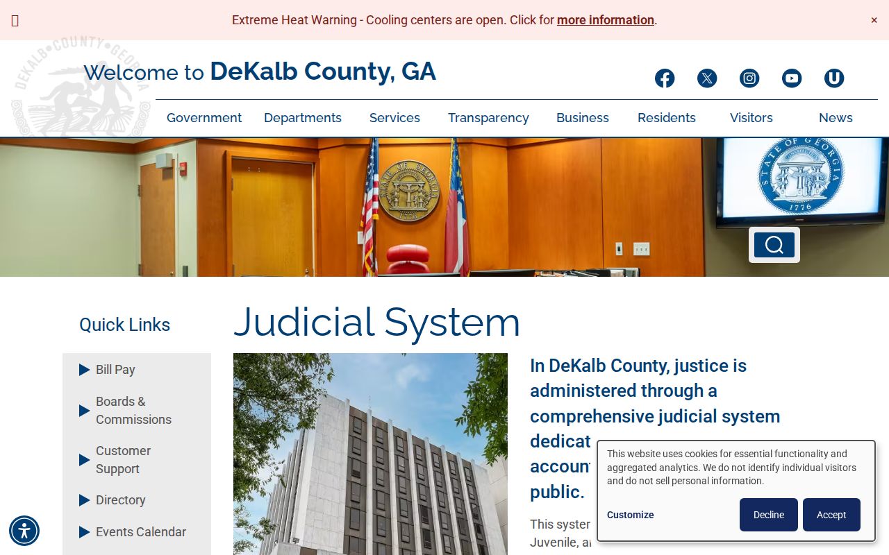
The county gateway reinforces why a postal result alone cannot select a court or custodian. Use the mapped address and record type together.
Common ZIP myth. A 30319 address is not automatically inside Brookhaven. Likewise, an Atlanta postal city does not exclude a parcel from Brookhaven.
30324 After LaVista Park Annexation
LaVista Park joined Brookhaven at the end of 2019. The annexation added about 2,000 residents and was described by the city as likely Georgia's largest use of the 60 percent annexation method. City jurisdiction changed, but USPS did not have to redraw the surrounding 30324 delivery routes. That leaves a clear local example of why ZIP codes and city borders cannot be treated as twins.
The date of the event controls where to search. A permit or service record created before 2020 may belong with DeKalb County even when the same address is now in Brookhaven. For a later event, check the city's custodian. Brookhaven GIS maintains the current city line, but current membership should not be projected backward without checking the annexation date.
Verify a Brookhaven ZIP Assignment
Use the USPS ZIP Code Lookup for the standardized postal address and ZIP assignment.
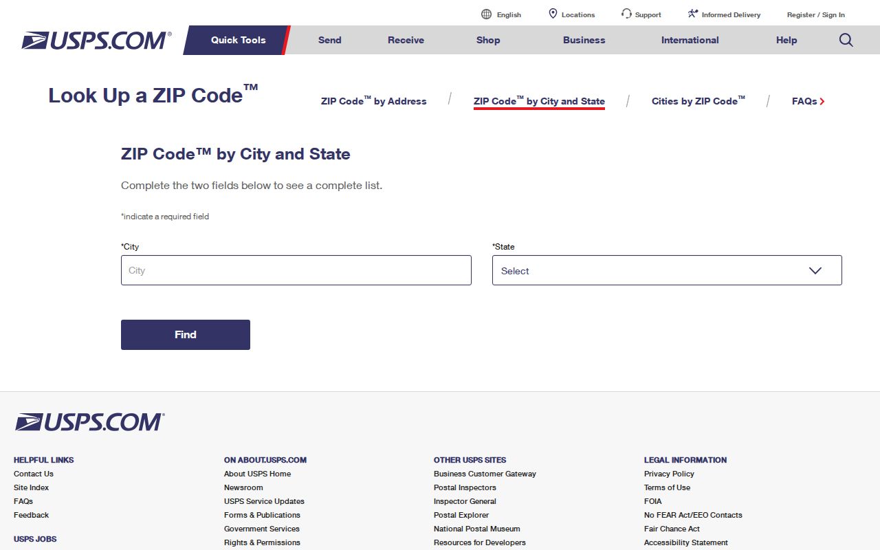
The interface confirms delivery information, not Brookhaven jurisdiction. Finish the check with parcel and municipal-boundary records.
- Enter the full address in USPS and copy the standardized result, including ZIP+4 when returned.
- Find the exact site in DeKalb parcel data and distinguish its site address from the owner's postal address.
- Overlay or consult the Brookhaven city-limit layer to determine the municipality.
- Ask the city service desk when a program's eligibility rule needs direct confirmation.
This order keeps three different questions separate: where mail goes, where land sits, and which city serves it. For a named-road workflow after the postal area is narrowed, continue with the Brookhaven street directory.
Search Brookhaven Parcel ZIP Fields
The official DeKalb tax-parcel service publishes separate postal ZIP fields named PSTLZIP5 and PSTLZIP4. Where the service permits a query or export, these fields can narrow an existing parcel layer. The basic appraisal gateway advertises parcel ID, address, and owner-name searching rather than a simple ZIP box, so do not promise a ZIP option that its public screen does not offer.
| Search field | Meaning | How to use it |
|---|---|---|
| PSTLZIP5 | Five-digit owner correspondence ZIP | Filter postal destinations, then check site geography |
| PSTLZIP4 | Four-digit delivery add-on | Refine a known mailing address |
| Site address | Physical parcel location | Locate the land inside the city-limit polygon |
| Postal city/state | Owner correspondence destination | Do not treat it as the parcel municipality |
| Parcel ID | County property key | Carry the exact parcel into appraisal and deed research |
A postal ZIP filter can return absentee owners whose correspondence goes into the chosen code while their land lies elsewhere. It can also omit Brookhaven parcels whose owners receive mail in another state. A site-address or mapped-parcel filter is better when the question is who owns land within one Brookhaven area.
My Voter Page asks for county and personal identity fields, not a ZIP for browsing. A broader elector extract must follow the lawful DeKalb elections request route and applicable redactions. It should still be clipped to city limits before being described as Brookhaven data.
ZIP Codes Cross Brookhaven Neighborhoods
Neighborhood identity forms another layer. Historic Brookhaven, Brookhaven Heights, Brookhaven Fields, Ashford Park, Drew Valley, Cambridge Park, Hillsdale, LaVista Park, and Buford Highway communities have civic or historical meaning, but their social edges do not always match a postal zone, parcel district, or municipal boundary.
A neighborhood name can improve a search when a person recalls an association, school, old subdivision, or road. Yet it should not replace a verified address. City organization listings publish public association contacts, not member rolls. They help confirm community names and context while respecting household privacy.
Brookhaven's population profile also warns against equating a property owner list with all people in a ZIP. Census QuickFacts reports 24,271 households for 2020 through 2024 and owner occupancy of 52.6 percent. Parcel data is strong for land and owner correspondence, but it leaves many renters and other occupants unnamed. Use it to verify geography, then choose a person record suited to the question.
Old Streets Inside Brookhaven ZIPs
A ZIP code directory does not solve a renamed-road problem. Chandler Road became Dresden Drive, and Old Decatur Road became Clairmont Road. Historic directories may use the earlier name while present parcel systems use the new one. Search both names, then bridge the change with plats, road maps, parcel IDs, and legal descriptions.
The legal description often outlasts a street label because it identifies a subdivision, lot, block, or metes-and-bounds tract. Postwar roads such as Archway and Mannville will not appear in sources created before they existed. Date the source before assuming an address is missing.
Read Brookhaven ZIP Terms Carefully
Postal terms describe how USPS sorts and delivers mail. Property and city records use other keys. Keeping the terms separate prevents a delivery fact from being mistaken for proof of ownership or city residency.
- ZIP and ZIP+4
- The five-digit code names a delivery area. The four extra digits narrow delivery to a smaller segment, building, or group of boxes.
- PO-box ZIP
- A code assigned chiefly to post office boxes rather than ordinary street delivery. None was verified as a Brookhaven city ZIP.
- Unique ZIP
- A code assigned to one high-volume organization or institution. No such Brookhaven code was verified.
- Carrier route
- A sequence of addresses served by one postal carrier. It is a mail unit, not a city district.
- Situs address
- The physical location of a parcel in appraisal and GIS data, even when owner mail goes somewhere else.
No official Brookhaven-specific ZIP split year or per-ZIP population count was found in the research. Avoid inventing either. Count mapped parcels or people only after applying the city boundary and documenting the method.
Used this way, the Brookhaven ZIP code directory narrows a search without turning a postal code into a false city boundary. Confirm the delivery fact, the parcel fact, and the jurisdiction fact in that order.